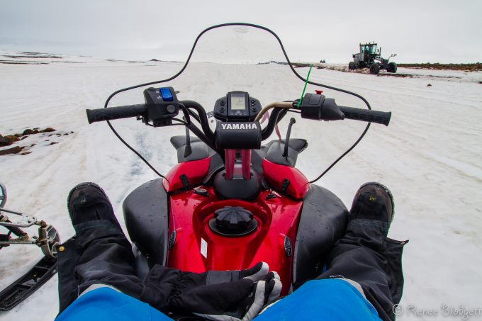
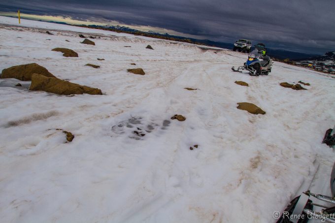
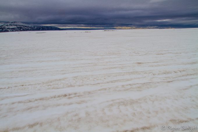
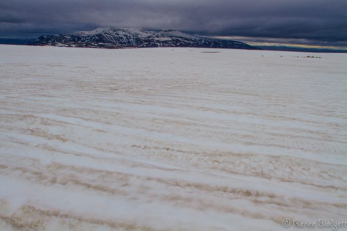
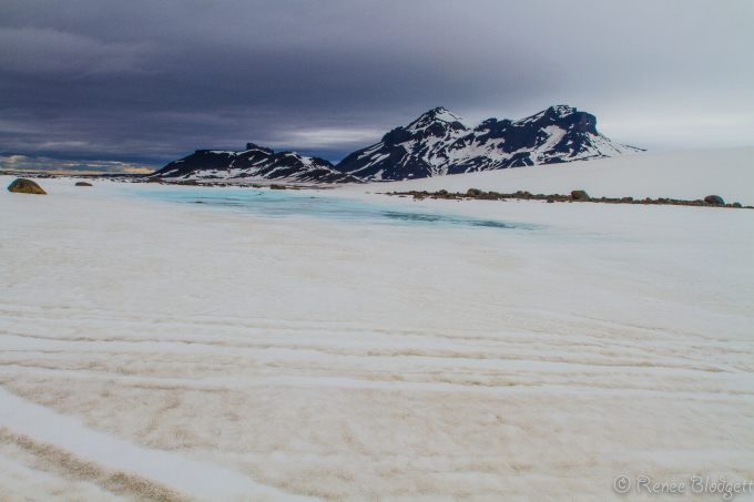
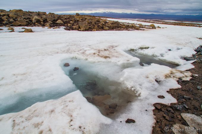
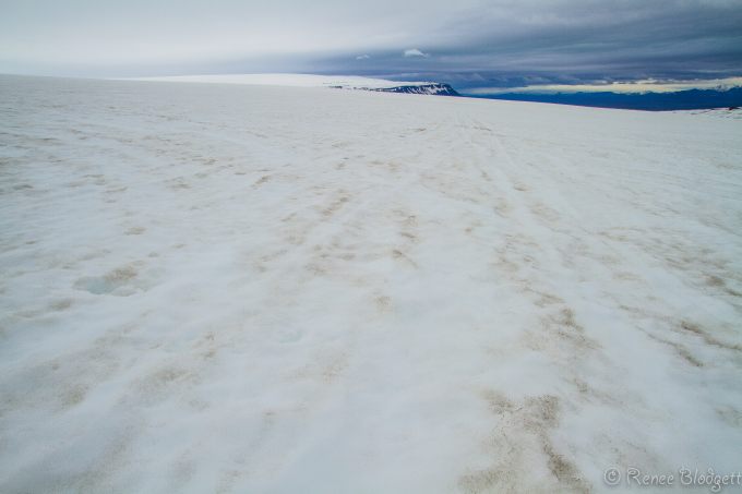
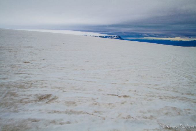
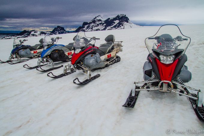
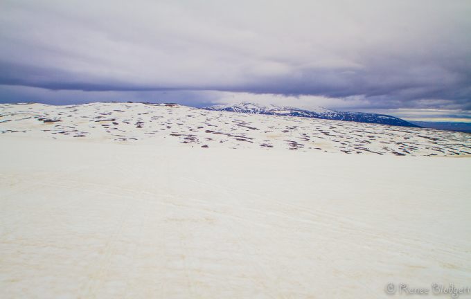
Langjökull Glacier is Iceland’s second largest glacier after Vatnajökull and is situated in the west of the Icelandic interior or Highlands of Iceland which can be seen clearly from Haukadalur. I ended up there because I signed up to go snowmobiling on a glacier and it happens to be one of the most popular ones tourists go to, particularly in the summer months. While mid-June isn’t particularly the hottest temperatures Iceland’s summer sees, it was warm enough to show melting spots on the glacier itself and there were some areas we stayed clear of because of it.
There are numerous spots en route to the Glacier that are worth seeing, such as the colorful Kerid Crater, the Geysir Hot Springs and Pingvellir National Park, all included in the notorious Golden Circle jeep tours that many of the adventure tour companies offer. Often, the snowmobiling excursion is the last stop of the day and my only complaint about it was that I wanted longer time in the snow.
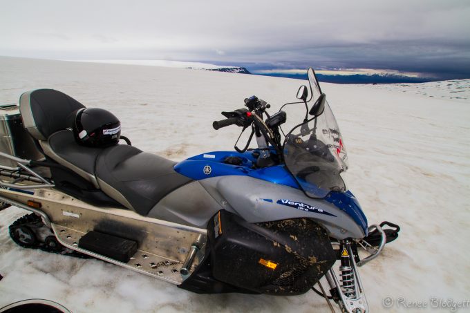
They deck you out in waterproof snow gear and match you up with a snowmobile. Luckily, because I was traveling alone, I was given my own machine which meant I didn’t have to slow down because someone on the back was nervous about my speed.
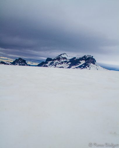
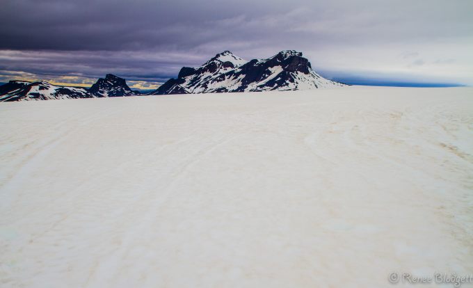
The views are spectacular in every direction.
The glacier is roughly parallel to the direction of the country’s active volcanic zone and is about 50 km long and 15 to 20 km wide and is the nearest large glacier to Reykjavik.
The area of the glacier includes some mountains, such as Jarlhettur also known as “Earl’s Hat” on the east side of Langjokull Glacier, a palagonitic mountain range, which originated in a fissure eruption under a glacier during Ice Age. The mountain Skridufell is located on the east, above lake Hvitarvatn and other mountains on the eastern side of the glacier include Fjallkirkja, Thursaborg and Peturshorn.
Despite the size of Langjokull, not many rivers directly originate there. That said, there are streams that feed Lake Thingvallavatn, some 50 km to the south and easily accessible to tourists. Also, many of the hot springs in the Borgarfjordur region (near the estuary of the river Hvita on the west coast), such as Deildartunguhver, receive ground water from Langjokull.
The same is true for the lake Hvitarvatn to the east although Langjokull is apparently shrinking quite fast, and some researchers believe that it will disappear in about 150 years if climate change continues at its recent pace.
Under Langjokull, there are two or more volcanic systems and the calderas can easily be seen from the air. The best known of these is Hveravellir with its hot spring and high temperature area to the east of the glacier. During an Ice Age, some shield volcanoes of this system covered the plains with lava in the region of today’s Kjolur mountain road. The lava field is about 7,800 years old.
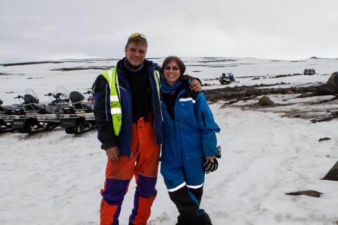
A smaller volcanic system lies to the north-west of the glacier in the Arnarvatnsheidi, north of the glacier Eiriksjokull. About 1,000 years ago, the craters of this system produced the lava field Hallmundarhraun which extends some 50 kilometers westward into the valley of the Hvita. Volcanically, the region is relatively quiet, compared to other regions in Iceland, with just 32 eruptions in the last 10,000 years. Below, hanging out on a pile of lava remains.
Note: I was hosted by Mountaineers of Iceland, a adventure touring company based in Iceland, but my opinions expressed are entirely my own. I’d recommend taking them for one of their tours – their guides are passionate and knowledgeable about the area. And, cute too! :-)
For more on Iceland, check out Iceland section / Travel to Iceland / Traveling to Iceland. All photos Renee Blodgett.

Renee Blodgett is the founder of We Blog the World. The site combines the magic of an online culture and travel magazine with a global blog network and has contributors from every continent in the world. Having lived in 10 countries and explored nearly 80, she is an avid traveler, and a lover, observer and participant in cultural diversity.
She is also the CEO and founder of Magic Sauce Media, a new media services consultancy focused on viral marketing, social media, branding, events and PR. For over 20 years, she has helped companies from 12 countries get traction in the market. Known for her global and organic approach to product and corporate launches, Renee practices what she pitches and as an active user of social media, she helps clients navigate digital waters from around the world. Renee has been blogging for over 16 years and regularly writes on her personal blog Down the Avenue, Huffington Post, BlogHer, We Blog the World and other sites. She was ranked #12 Social Media Influencer by Forbes Magazine and is listed as a new media influencer and game changer on various sites and books on the new media revolution. In 2013, she was listed as the 6th most influential woman in social media by Forbes Magazine on a Top 20 List.
Her passion for art, storytelling and photography led to the launch of Magic Sauce Photography, which is a visual extension of her writing, the result of which has led to producing six photo books: Galapagos Islands, London, South Africa, Rome, Urbanization and Ecuador.
Renee is also the co-founder of Traveling Geeks, an initiative that brings entrepreneurs, thought leaders, bloggers, creators, curators and influencers to other countries to share and learn from peers, governments, corporations, and the general public in order to educate, share, evaluate, and promote innovative technologies.


