There are so many stunning views of craters, volcanoes, mountains and valleys in Iceland that it’s hard to know where to begin. Among countless roads I took to the north, to the east and several times to the west, one of the very last areas I explored wasn’t that far from Iceland’s capital city Reykjavik. Within a couple of hours, you can explore some of the most interesting sites, all of which you can take in over the course of one long day.
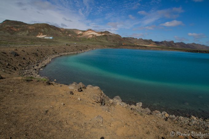
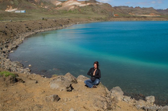
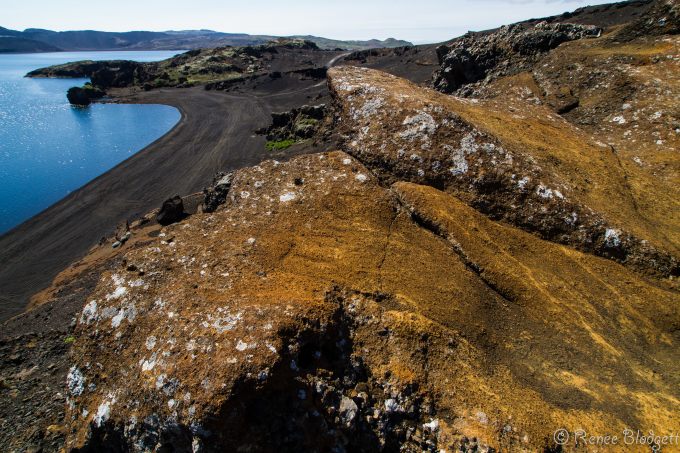
Below is the Graenvatn Explosion Crater which you’ll pass if you take the Reykjanes South Peninsula route. You can do this either by hiring your own car (an expensive option in Iceland), or by taking a tour. I ended up exploring this region with the Gateway to Iceland folks, who specialize in more personalized and smaller tours, something I’d recommend if you’re not into crowds.
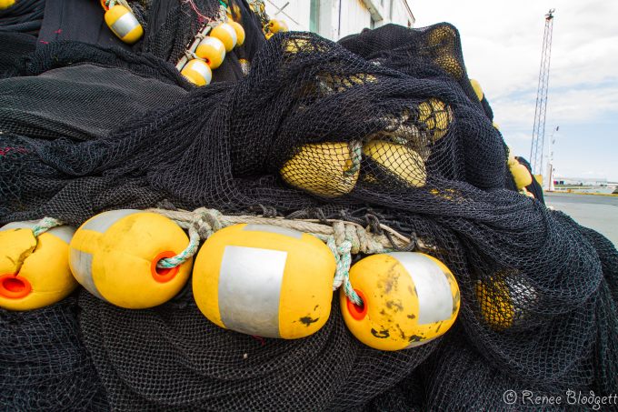
Another place you’ll stop en route is the ever so charming Grindavik Fishing Village. In Iceland, there is no shortage of fishing villages.
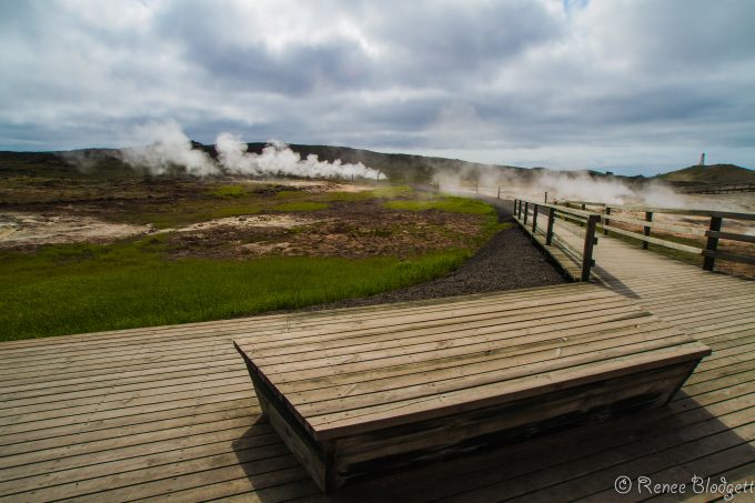
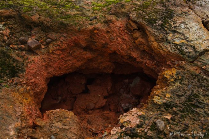
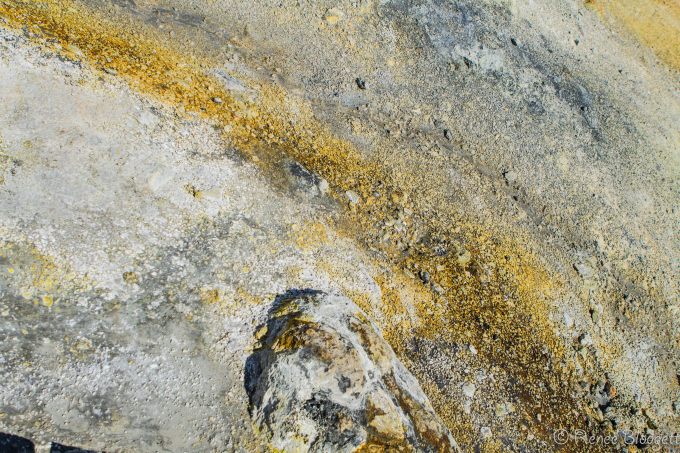
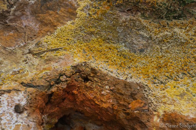
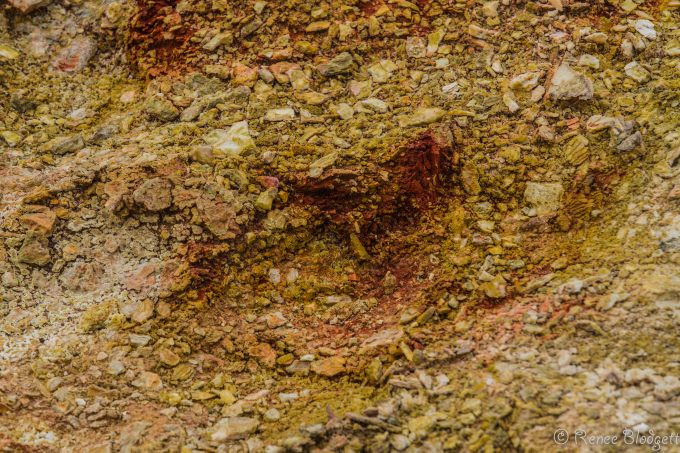
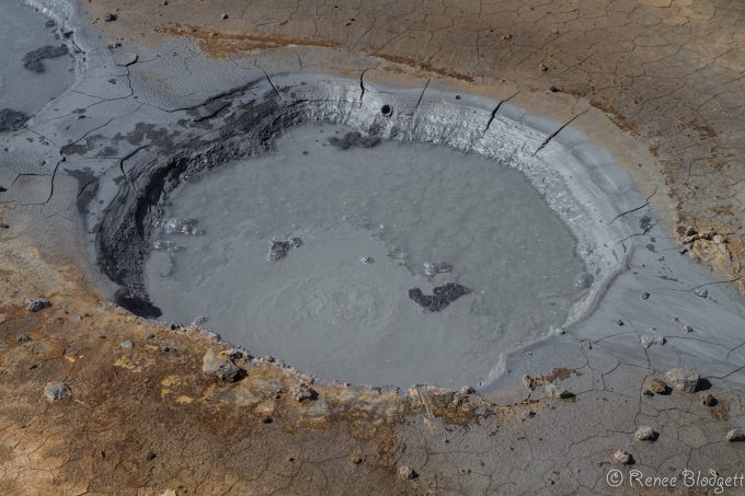
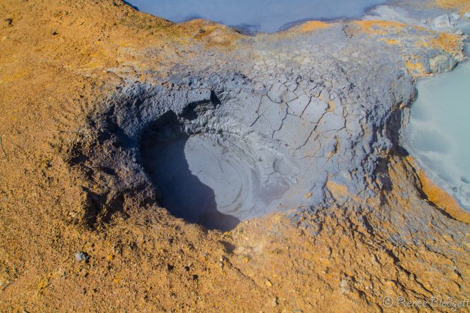
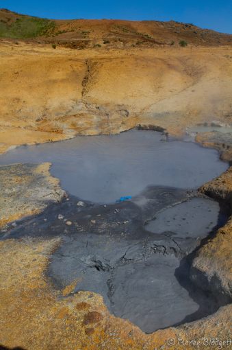
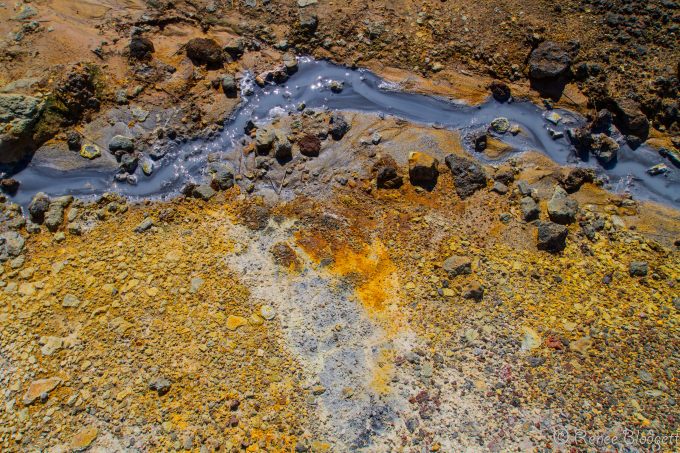
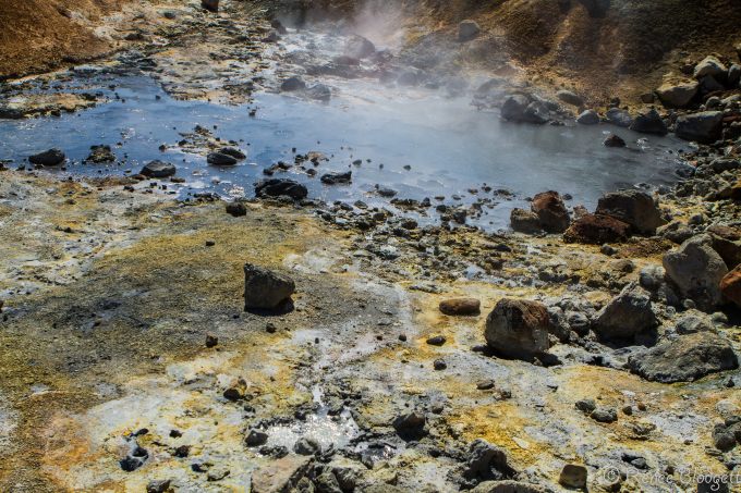
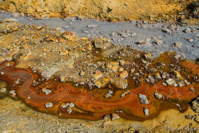
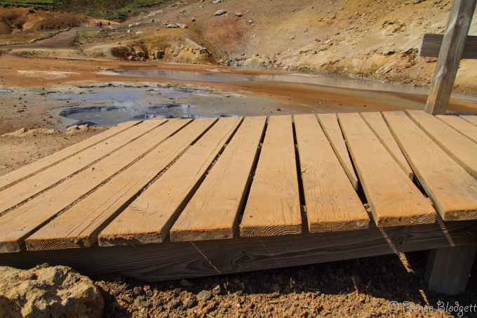
The geothermal area Krýsuvík is situated on the Reykjanes peninsula in the middle of the fissure zone on the Mid-Atlantic Ridge which traverses Iceland. It consists of several geothermal fields, such as Seltún. Locals referred to the area as Seltun several times. Here solfataras, fumaroles, mud pots and hot springs have formed, the soil is colored bright yellow, red, and green hues. Sulphur deposits were mined in 1722 – 1728 and in the 19th century and you’ll see (and smell) no shortage of sulphur in the air today.
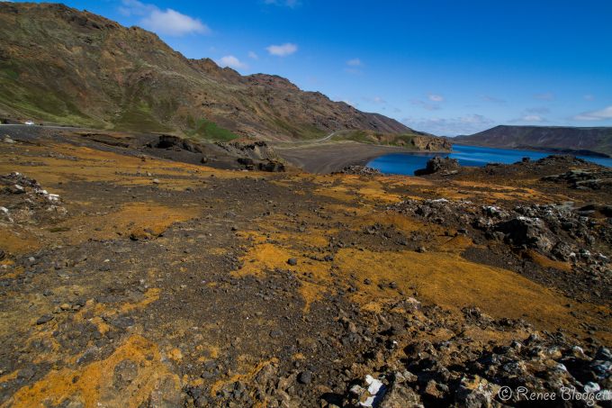
The colors are absolutely breathtaking — from mustard yellows to vivid burnt sienna and reds, you’ll be drawn into their beauty. Near the geothermal fields are several maars…essentially craters created by the explosions of overheated groundwater. The unusual green-blue Grænavatn lake has formed in one of these maars. Test boreholes were made here in the early 1970s, some of the boreholes have turned into irregular, artificial geysers, one of which exploded in 1999.
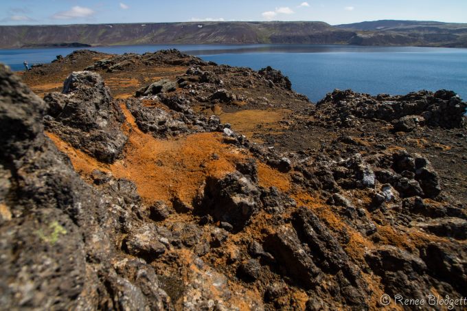
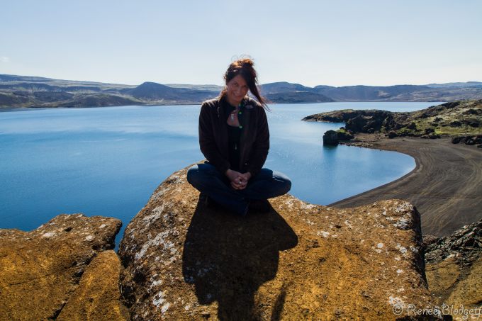
Below is the biggest lake in the area, Lake Kleifarvatn, which began to diminish after a big earthquake in 2000. Since then, 20% of its surface has disappeared. In this area there were some farms until the 19th century, after which they were abandoned. Only a small chapel, Krísuvíkurkirkja, built in 1857, remained, until it burned to the ground on January 2, 2010.
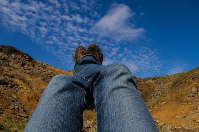
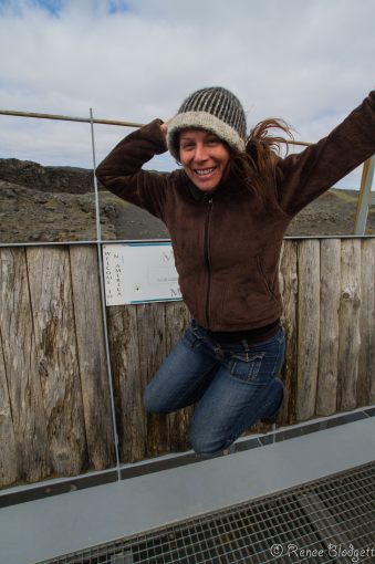
Below I am standing at the bridge between the continents, only separated by tatonic plates. In other words, one side is Europe while the other foot when on the ground would be in America.
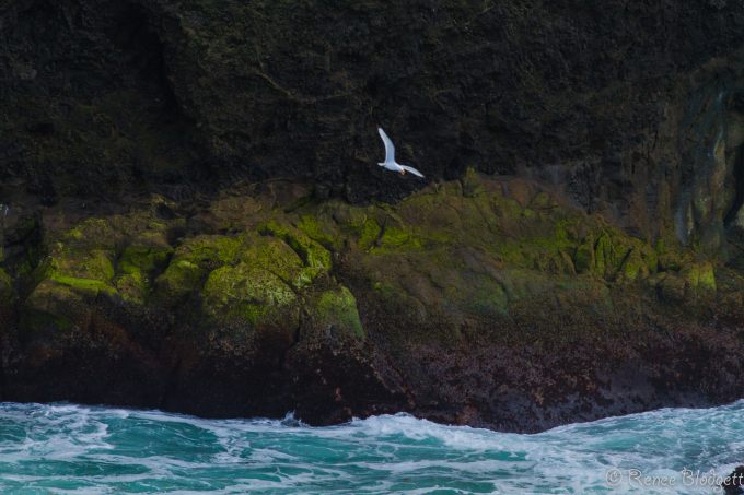
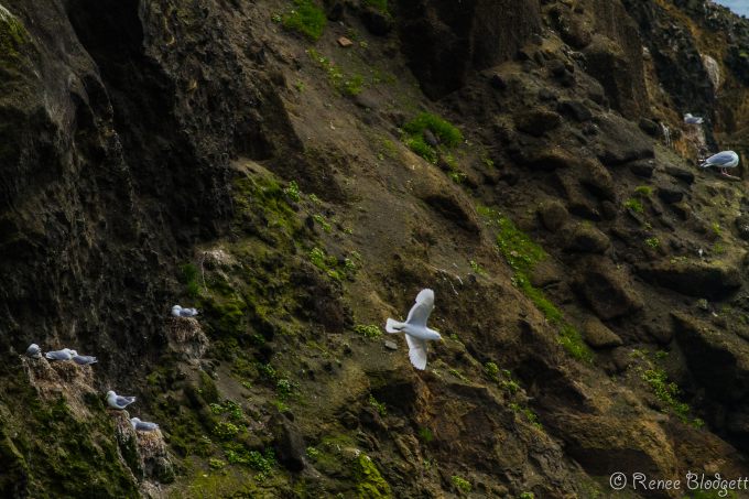
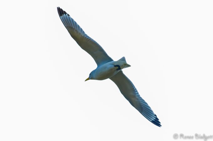
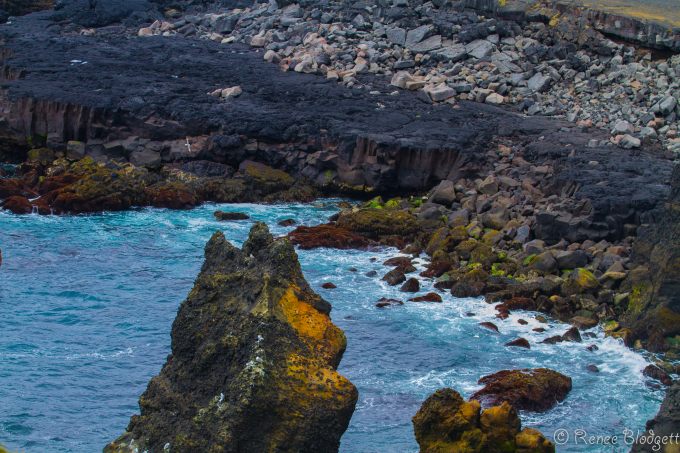
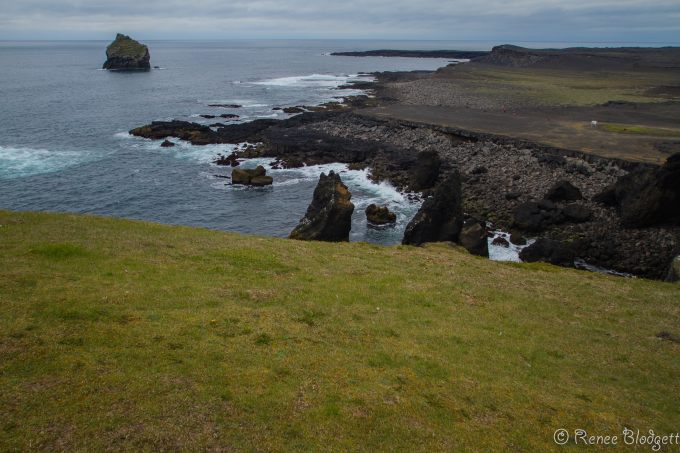
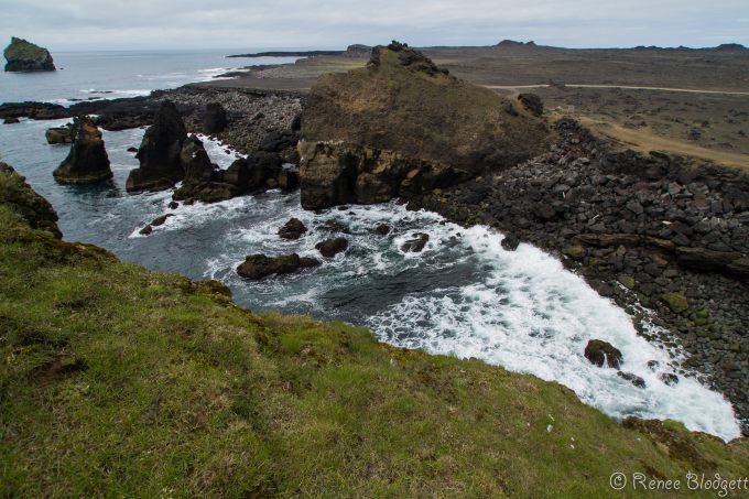
Southern most tip of Reykjanes, where remarkably natural beauty reigns. Here, there is no shortage of bird life, one of my favorite things about the region.
Stunning cliffs around the edge of the ocean make for a great home for many of these native birds.
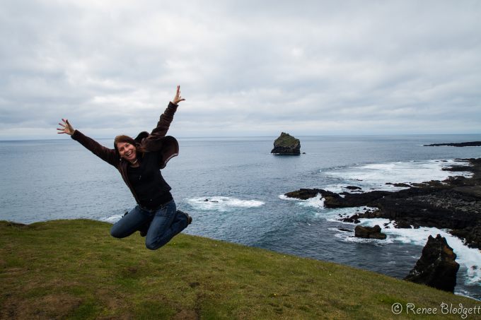
There are opportunities to hike to the top of some of the cliffs for an even better view or…if you’re inspired by the beauty, to jump for joy.
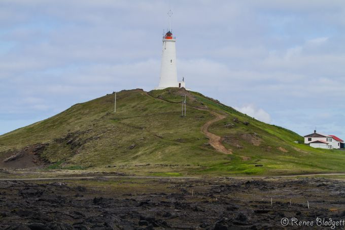
There’s also a lighthouse nearby which you can visit either on your way into the Reykjanes South Peninsula or as you head back to Reykjavik center.
For more on Iceland, check out Iceland section / Travel to Iceland / Traveling to Iceland. All photos Renee Blodgett.

Renee Blodgett is the founder of We Blog the World. The site combines the magic of an online culture and travel magazine with a global blog network and has contributors from every continent in the world. Having lived in 10 countries and explored nearly 80, she is an avid traveler, and a lover, observer and participant in cultural diversity.
She is also the CEO and founder of Magic Sauce Media, a new media services consultancy focused on viral marketing, social media, branding, events and PR. For over 20 years, she has helped companies from 12 countries get traction in the market. Known for her global and organic approach to product and corporate launches, Renee practices what she pitches and as an active user of social media, she helps clients navigate digital waters from around the world. Renee has been blogging for over 16 years and regularly writes on her personal blog Down the Avenue, Huffington Post, BlogHer, We Blog the World and other sites. She was ranked #12 Social Media Influencer by Forbes Magazine and is listed as a new media influencer and game changer on various sites and books on the new media revolution. In 2013, she was listed as the 6th most influential woman in social media by Forbes Magazine on a Top 20 List.
Her passion for art, storytelling and photography led to the launch of Magic Sauce Photography, which is a visual extension of her writing, the result of which has led to producing six photo books: Galapagos Islands, London, South Africa, Rome, Urbanization and Ecuador.
Renee is also the co-founder of Traveling Geeks, an initiative that brings entrepreneurs, thought leaders, bloggers, creators, curators and influencers to other countries to share and learn from peers, governments, corporations, and the general public in order to educate, share, evaluate, and promote innovative technologies.

